

The Mappa Mundi is housed in Hereford Cathedral and is one of Britain’s finest medieval treasures. But what is a Mappa Mundi?
Great world maps were an English speciality in the Middle Ages and were drawn on cloth, walls or animal skin. Only the Hereford World Map – Mappa Mundi – has survived complete and is believed to be the world’s largest medieval map.
These large maps were drawn in great detail but could only be read by people who spoke Norman French, the language of the literate secular elite. The mappae mundi interpreted the world in spiritual as well as geographical terms, and included Biblical illustrations as well as portrayals of Classical learning and legend. As pictorial descriptions of the outside world, these impressive maps were also educational; they were used for teaching natural history and classical legends, and reinforcing religious beliefs.
There is little doubt that the map was created in Lincoln as the depiction of Lincoln Cathedral on the map is so true to life. Lincoln was already a renowned centre of learning in the 13th century: its library had contained a world map and the chronicler and map-maker Gerald of Wales had lived there prior to his death in 1223.
The map is drawn on a single sheet of vellum (calf skin) and measures 64 inches by 52 inches, tapering towards the top. It is generally believed that the map was created in the late 1290s and written in English Gothic script by one person alone.
So who made the Hereford Mappa Mundi? The map is attributed to one ‘Richard of Haldringham or Lafford’ (Holdingham and Sleaford in Lincolnshire) who was also known as Richard de Bello. Whilst the map was drawn in Lincoln, it was almost certainly in Hereford by 1330.
It is very probable that the Hereford map was largely copied from another, older map. The Roman Emperor Augustus appears on the Mappa Mundi and it is known that he charged his son-in-law Agrippa with the creation of a world map that emphasized the extent of the Roman Empire in the first century A.D. Agrippa’s lost map, along with later ones of the Roman Empire, are likely to form the basis of the Hereford map, along with medieval additions, illustrations and Christian symbolism.
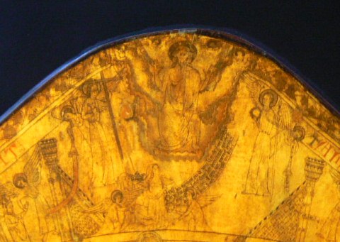
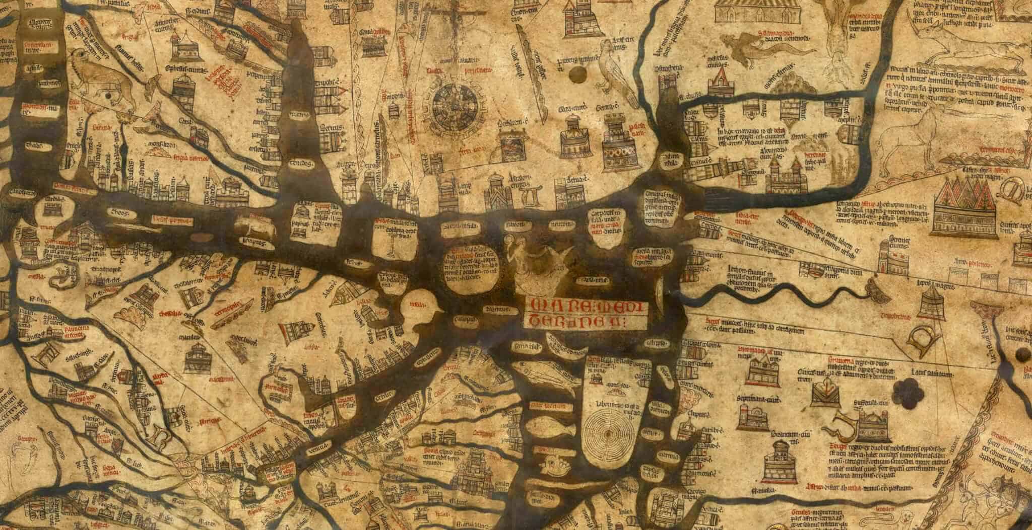
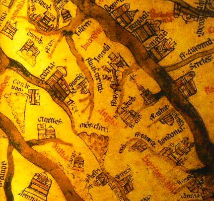
East is at the top of the map, South is on the right, West is at the bottom with North on the left. At the centre of the Mappa Mundi is Jerusalem, the centre of the Christian world. The continents are illustrated with drawings of cities and towns, classical mythology (the Minotaur is depicted on the map), Biblical events, plants, animals (including camels, elephants and lions), birds (including parrots and a phoenix) and people. The top of the map shows Christ sitting at the Day of Judgement, flanked by angels.
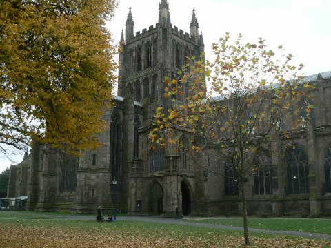
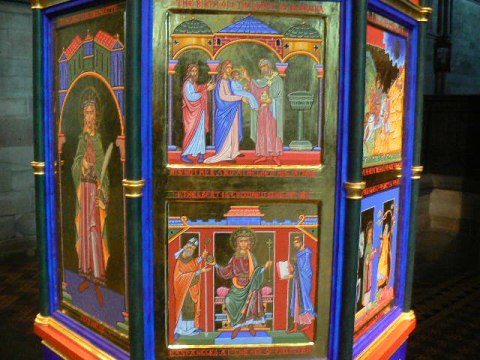
The Mappa Mundi can be seen at Hereford Cathedral. The cathedral dates from Saxon times and is dedicated to the martyred King Ethelbert, killed on the orders of King Offa – his magnificent gilded and painted shrine is situated in the retro-choir, near to the Lady Chapel. It tells the story of the Saxon saint in 12 episodes.
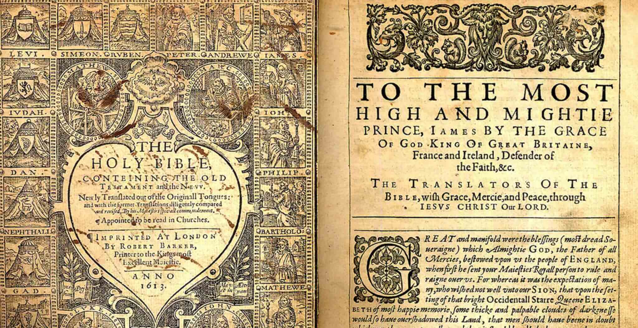
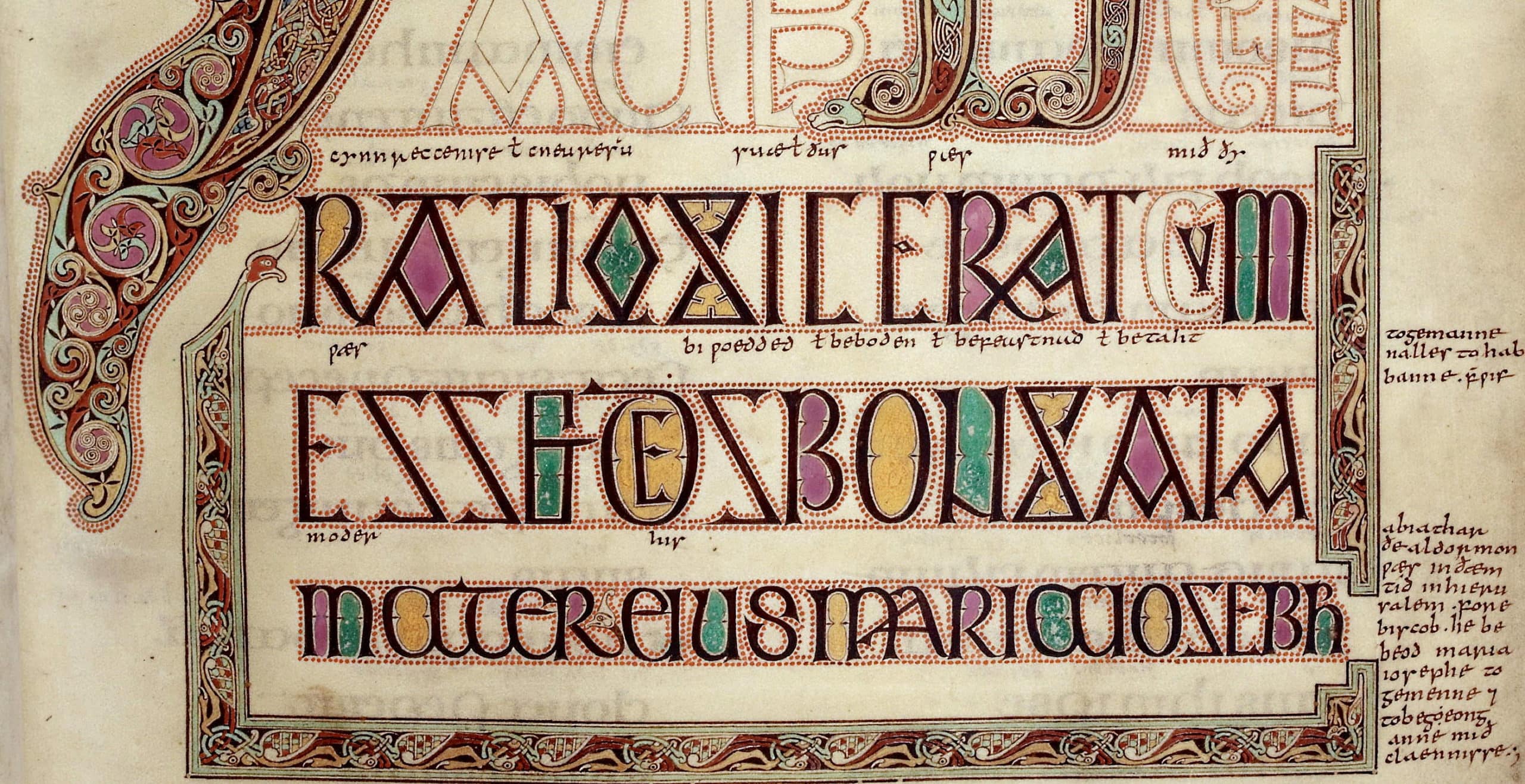
Hereford Cathedral is also home to another great medieval treasure, the Chained Library which holds 229 medieval manuscripts. The cathedral’s earliest and most important book is the eighth-century Hereford Gospels.