

The Greenwich Meridian separates east from west in the same way that the Equator separates north from south. It is an imaginary line which runs from the North Pole to the South Pole and passes through England, France, Spain, Algeria, Mali, Burkina Faso, Togo, Ghana and Antarctica.
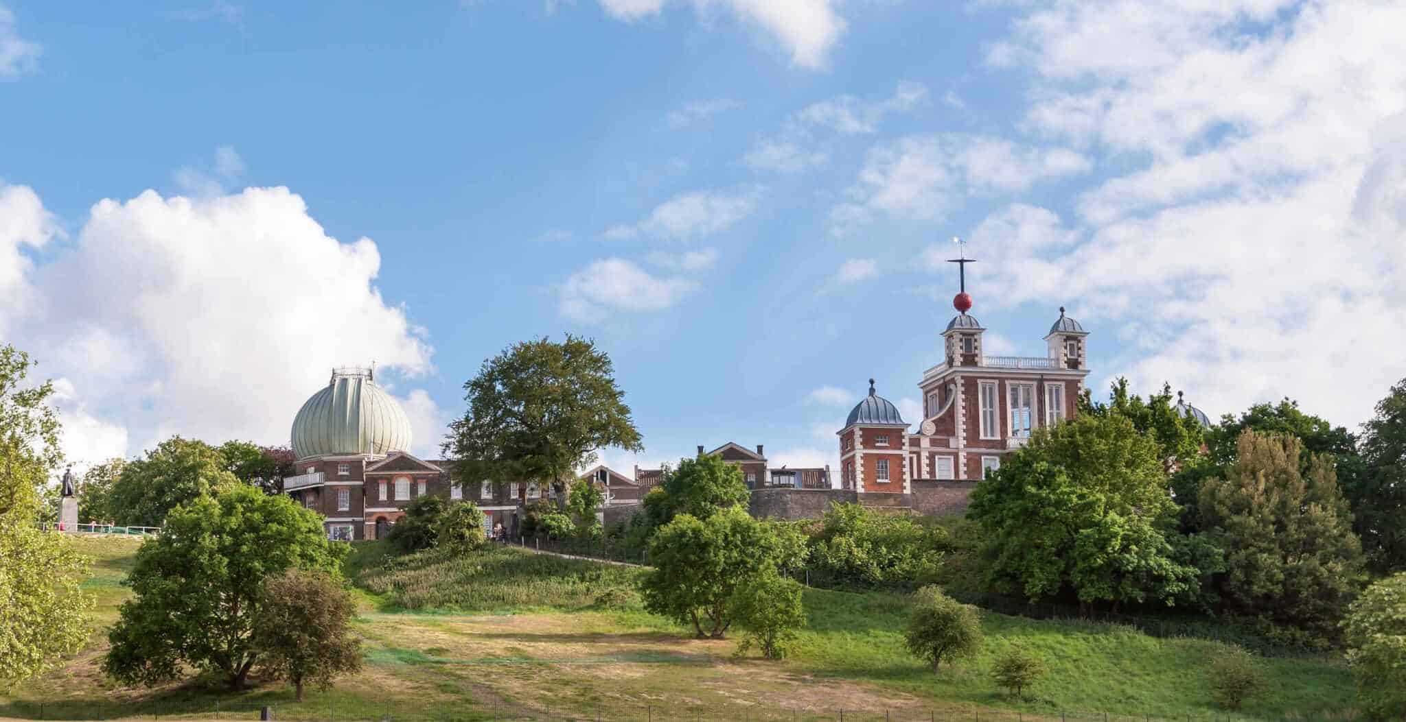
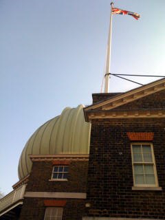
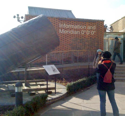
The Greenwich Meridian line, Longitude 0°, runs through the historic Airy Transit Circle telescope, which is housed at the Royal Observatory at Greenwich in south-east London. The line runs across the floor in the courtyard there. People flock from all over the world to stand with one foot in each of the eastern and western hemispheres! It is the line from which all other lines of longitude are measured.
Prior to the 17th century, countries chose their own location by which to measure from east to west across the world. This included such locations as the Canary Island of El Hierro and St Paul’s Cathedral! However, the increase in international travel and trade made it necessary for a move towards the unification of co-ordinates in the seventeenth century.
It was known that longitude could be calculated using the difference in local times of two points on the Earth’s surface. As such, whilst sailors could measure the local time of their location by studying the Sun, they would also need to know the local time of a reference point in a different location to calculate their longitude. It was establishing the time at another location that was the problem.
In 1675, in the midst of the reformation period, King Charles II founded the Greenwich Observatory in the Crown-owned Greenwich Park, south east London, to improve naval navigation and establish longitude measurements using astronomy. The astronomer John Flamsteed was appointed by the king as his first ‘Astronomer Royal’ in charge of the observatory in March of the same year.
The observatory was to be used to produce an accurate catalogue of the positions of the stars, which correspondingly would allow the Moon’s position to be accurately measured. These calculations, known as the ‘Lunar Distance Method’, were later published in the Nautical Almanac and referred to by sailors to establish Greenwich Time, which in turn allowed them to work out their current longitude.
The Scilly naval disaster prompted further action in the pursuit of measuring longitude. This terrible disaster occurred off the Isles of Scilly on 22 October 1707 and resulted in the deaths of over 1400 British sailors because of their inability to accurately calculate their ship’s position.
In 1714 Parliament assembled a group of experts known as the Board of Longitude and provided an unthinkably large £20,000 prize (approximately £2 million in today’s money) to anyone able to find a solution for measuring longitude at sea.
However, it was not until 1773 that the Board awarded the prize to John Harrison, a joiner and watchmaker from Yorkshire, for his mechanical timepiece the marine chronometer, which overtook the lunar method in its popularity for establishing longitude with nineteenth century sailors.
 The Prime Meridian
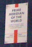
Intrinsically linked to the measurement of longitude is the measurement of time. Greenwich Mean Time (GMT) was established in 1884 when, at the International Meridian Conference, it was decided to place the Prime Meridian at Greenwich, England.
Until the end of the nineteenth century, there were no national or international guidelines for measuring time. This meant that beginning and end of the day and the length of an hour varied from town to town and country to country. The advent of the industrial age in the mid – late nineteenth century, which brought with it the railway and increased international communications, meant an international time standard was needed.
In October 1884, an International Meridian Conference was held in Washington D.C. by invitation of Chester Arthur, twenty-first President of the United States, to establish one prime meridian with a longitude of 0° 0′ 0” by which every location would be measured in relation to its distance east or west, dividing the east and western hemispheres.
Twenty-five nations attended the conference in total, and with a vote of 22 to 1 (San Domingo was against and France and Brazil abstained from voting), Greenwich was chosen as the Prime Meridian of the World. Greenwich was chosen for two important reasons:
– Following the International Geodetic Association conference in Rome in October the previous year, the USA (and the North American Railway in particular) had already begun using Greenwich Mean Time (GMT) to establish its own time-zone system.
– In 1884, 72% of the world’s trade depended on ships which used sea-charts proclaiming Greenwich as the Prime Meridian so it was felt that choosing Greenwich above competitors like Paris and Cadiz would inconvenience less people overall.
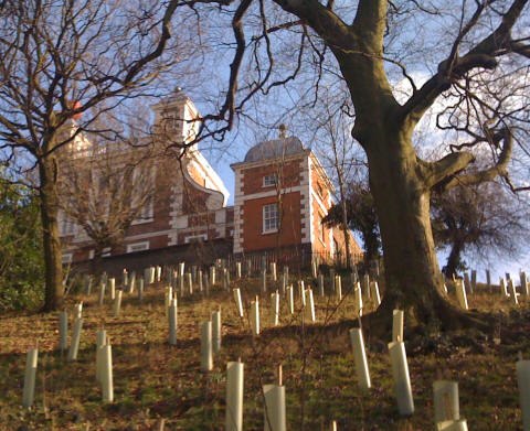
 Whilst Greenwich was officially chosen as the Prime Meridian, measured from the position of the ‘Transit Circle’ telescope in the Observatory’s Meridian Building – which had been built in 1850 by Sir George Biddell Airy, 7th Astronomer Royal – global implementation was not instantaneous.
Decisions made at the conference were in reality only proposals and it was the responsibility of individual governments to implement any changes as they saw fit. The difficulty in making universal changes to the astronomical day was also a hindrance to progress and whilst Japan adopted GMT as of 1886, other nations were slow to follow suit.
It was once again technology and tragedy which prompted further action at the beginning of the twentieth century. The introduction of wireless telegraphy provided the opportunity to broadcast time signals globally, but this meant that global uniformity had to be introduced. Having established themselves as leaders in this new technology by installing a wireless transmitter on the Eiffel Tower, France had to bow to conformity and began using GMT as its civil time from 11 March 1911, although it still chose not to implement the Greenwich Meridian.
It was not until 15th April 1912 when the HMS Titanic hit an iceberg and 1,517 people lost their lives, that the confusion of using different meridian points was most devastatingly apparent. During the enquiry into the disaster it was revealed that a telegram to the Titanic from the French ship the La Touraine noted the locations of nearby ice fields and icebergs using timing concurrent with the Greenwich Meridian but longitudes which referred to the Paris Meridian. Whilst this confusion was not the overall cause of the disaster it definitely provided food for thought.
The following year, the Portuguese adopted the Greenwich Meridian and on 1 January 1914, the French finally began to use it on all nautical documents, meaning for the first time all European seafaring nations were using a common meridian.
Museums
View our interactive map of Museums in Britain for details of local galleries and museums.
Getting here
Greenwich is easily accessible by road or rail, please try our UK Travel Guide for further information.